Travel
Work in progressStill adding places, and the photos to go with them.
Scroll to zoom, drag to pan, or use the buttons; hover or tap a marker for the details, and click it to wind the film to its photos. Natural Earth outlines, with India's states and union territories once you zoom in on it. Equirectangular projection, true to scale along the Tropic of Cancer. Antarctica is off the bottom of the map but still counts as a continent, which feels like cheating in its favour.
The list
-
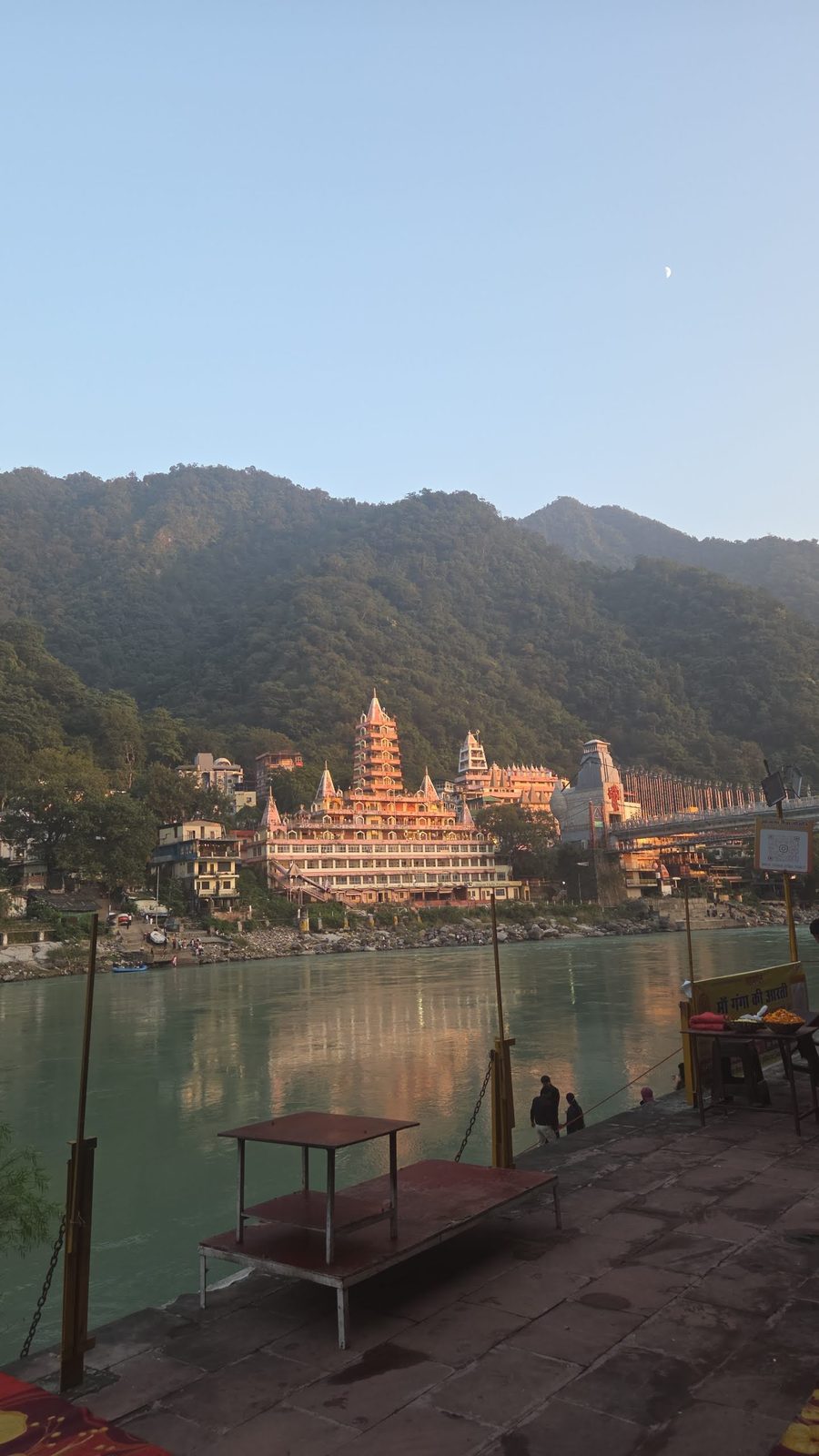
Rishikesh
Uttarakhand, India · Asia18 Oct 2026Evening by the Ganga, with the temples lit up across the water.
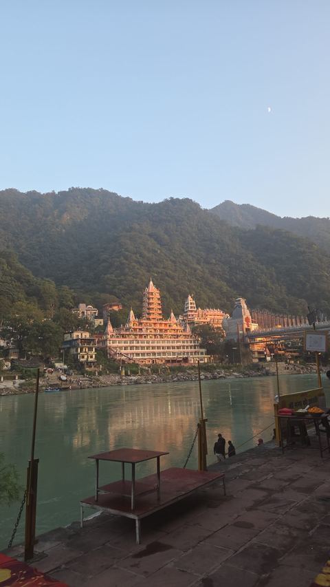 1 photo
-
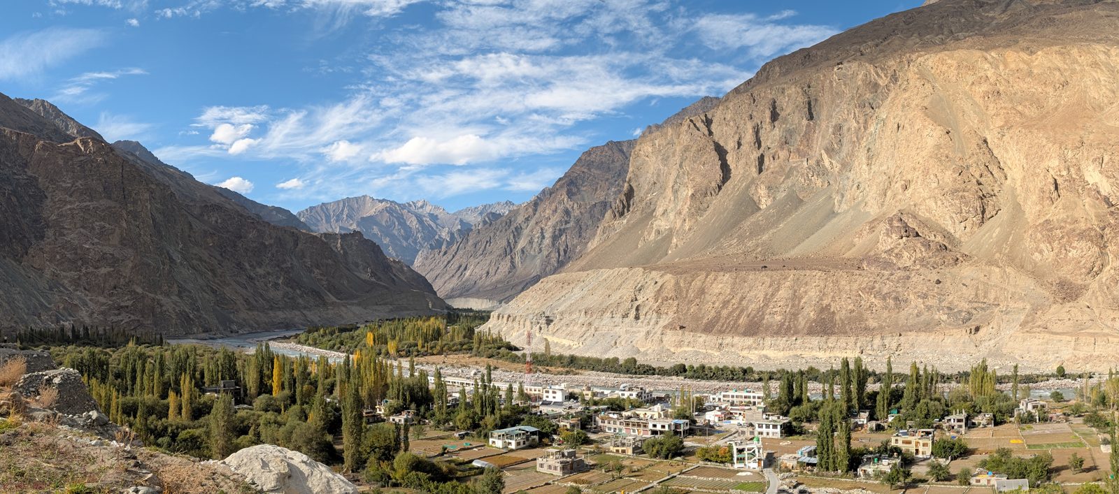
Leh
Ladakh, India · Asia2 Oct 2026Ladakh, at last. The town sits at about 3,500 m.
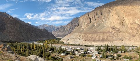 1 photo
-
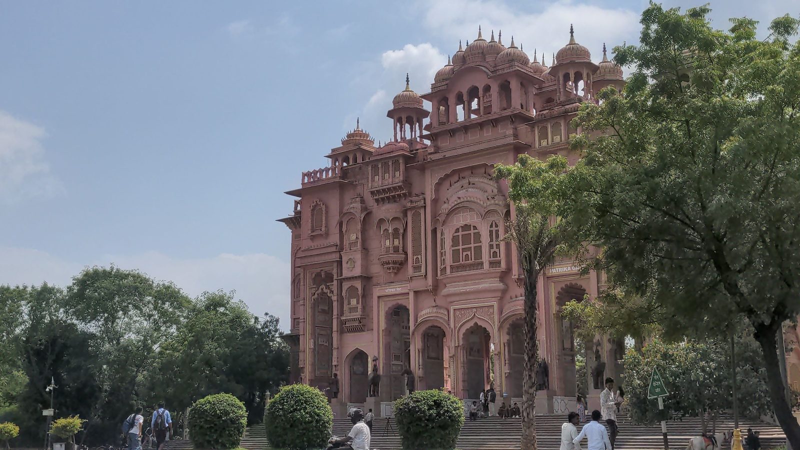
Jaipur
Rajasthan, India · Asia12 Sep 2026Albert Hall and the pink city.
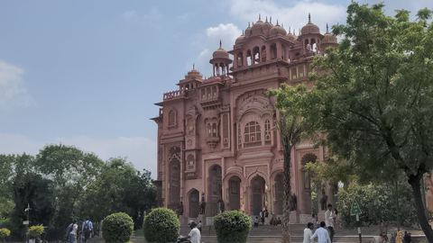 1 photo
-
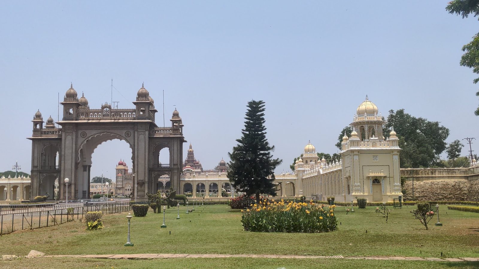
Mysore
Karnataka, India · Asia19 Apr 2026The palace arch, with the palace itself behind it.
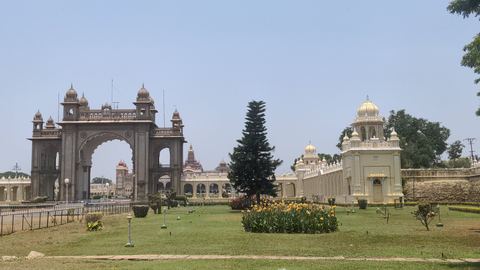 1 photo
-
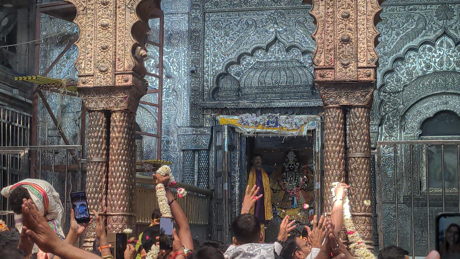
Vrindavan
Uttar Pradesh, India · Asia1 Mar 2026Darshan at the temple, shoulder to shoulder with the crowd.
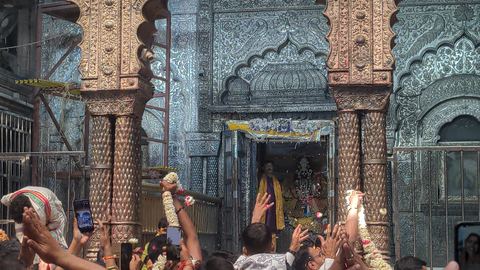 1 photo
-
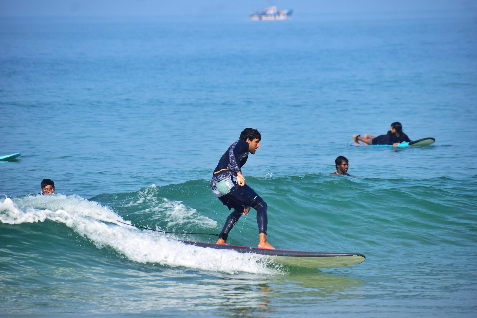
Mulki
Karnataka, India · Asia25 Dec 2025Christmas on the coast, in the water.
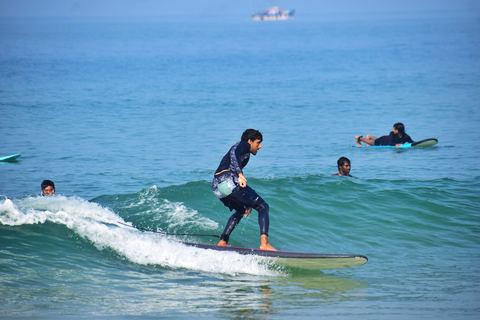 1 photo
-
Kuari Pass
Uttarakhand, India · Asia2023Snow trek in the Garhwal Himalaya, 3,814 m at the top.
2 photos to come
-
Bengaluru
Karnataka, India · AsiaHome base. Wrote a whole post about the traffic.
1 photo to come
Adding a place is one entry in _data/travel.yml (name,
country, ISO code, lat/lon, and the state for India) and the map, the
counts, the default zoom and the continent quest all move on their own.
Comments